CASE STUDY
NEED FOR IMPROVEMENT
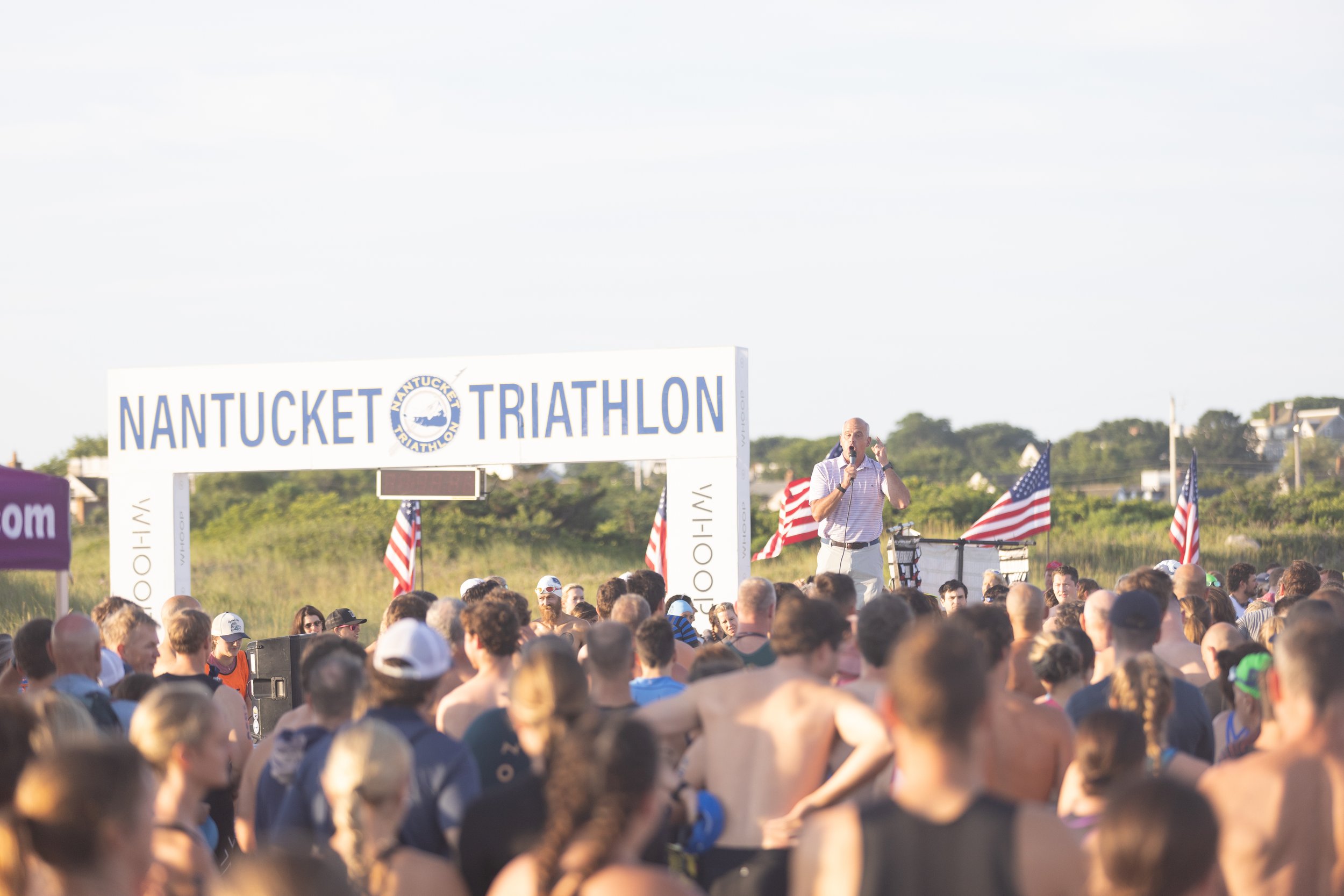
The Nantucket Triathlon is one of the most popular and well-known races in New England. With so many athletes, spectators, and community members relying on the race map, clarity is essential.
Previously, course maps were pieced together from screenshots of apps like MapMyRun, Strava, and Google Maps. This approach often caused confusion and missed opportunities to highlight key details such as aid stations, mile markers, parking, and the start/finish line.
As a result, the Nantucket Triathlon team found themselves answering frequent course-related questions. They realized it was time for an upgrade.
Every aspect of this race—from sponsors to logistics to photography—is executed with precision. The race map should be no exception.

GETTING STARTED
We sent the Nantucket Triathlon team our custom triathlon form to gather essential race details, including the route, aid stations, and key locations.
Our process is straightforward and streamlined, and we make an effort to keep everything hands-off unless we have specific questions.
RACE OVERVIEW MAP
The race overview provides all the essential information needed at a glance, making it both clear and accessible. It is designed to be simple, yet highly effective in conveying key details.
Athletes and spectators alike can easily refer to this map to understand the course route and quickly identify important locations in the area. Its straightforward layout ensures that users can efficiently gather the information they need without confusion.

RACE DETAIL MAPS
DETAILED COURSE VIEW
For athletes, having clear, up-close maps of each race segment is essential. Breaking down the swim, bike, and run into detailed sections allows participants to familiarize themselves with key course elements before race day.
Take the swim course, for example—knowing the exact buoy locations can make all the difference, especially for first-time triathletes. Similarly, an accurate run map helps athletes know where there are aid stations so they can plan their hydration strategy.
ELEVATION MODELS
Understanding the elevation profile of a race is just as important as knowing the route itself. Hills, inclines, and descents can significantly impact pacing, energy management, and overall race strategy.
For cyclists and runners, a clear elevation model helps in planning for challenging climbs and identifying ideal recovery sections. Triathletes can adjust their training to match race-day conditions, ensuring they’re fully prepared for the demands of the course.


DELIVERABLES
We provided the Nantucket Triathlon team with a high-resolution .jpg and .pdf map, ready for use across multiple platforms—including their website, athlete guides, and social media. This ensured clear and consistent course information was easily accessible to participants, spectators, and organizers.
We also offer posters that can be used to give athletes a visual when they are in-person at an expo or packet pickup.